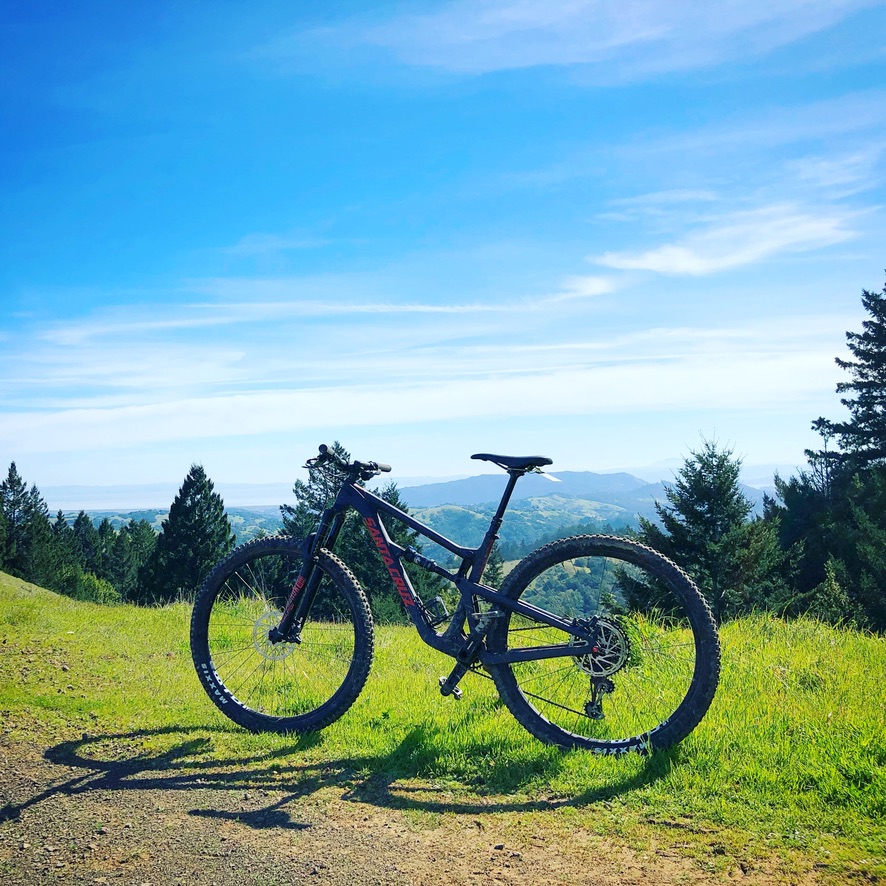
I wake up at 7 am, eat a quick breakfast, load up the rented car, and head out to Fairfax, California. From San Francisco, it is a 30-minute drive. I meet Mark, from Mountain Bike SF in front of the Mountain Bike Hall of Fame. My rented Santa Cruz Hightower C is ready for today's riding. Mark gives me a map of the Tamarancho trail system, a few quick tips and I set out to meet the trail entrance.
I have the bike until 6 pm, and I intend to make full use of it. I climb the first meters to get to the trailhead. Climbing through the residential area, I meet a fellow rider heading in the same direction. We exchange greetings, and he quickly overtakes me, climbing up. These locals are no joke. Then, why would they be - with more than 600 kilometers of trails in Marine County and a mountain biking heritage, going back to the very beginning of this sport, mountain biking is running in their blood.
The Birthplace of Mountain Biking
Mount Tamalpais and the surrounding trails in Marine County are widely considered the birthplace of mountain biking. This is where Gary Fisher, Otis Guy, Charlie Kelly, and Joe Breeze rode and raced in the early 1970s using bikes they assembled from junk found in bike shops.
It is crazy to think that 50 years later, mountain biking has become so popular around the whole world. I believe it is a place every mountain biker should make a pilgrimage to at some point in their life.
Camp Tamarancho Loop
I reach the Welcome Kiosk of Camp Tamarancho. An 18 kilometers long trail system maintained by Boy Scouts with about 70% of single tracks. The lowest point is 34 meters, and the highest is at 292 meters.
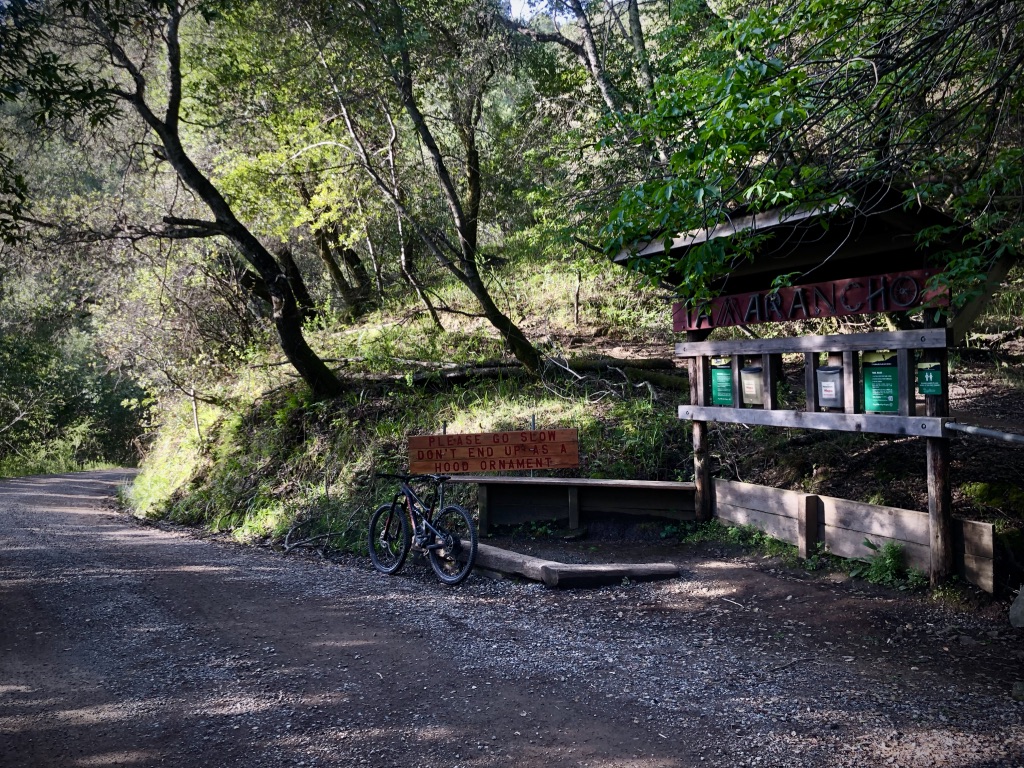
I climb the switchback on the Alchemist trail and get to the first junction. Here I take a right - the loop is bi-directional, but most people do it clockwise heading up Goldman Trail. The climb is pretty steep, but I enjoy the Hightower’s versatility. I’m quickly falling in love with it. Despite being a 29er, it is very nimble in the switchbacks and has a great balance, allowing me to maneuver the more technical climb through roots and rock gardens that are out there.
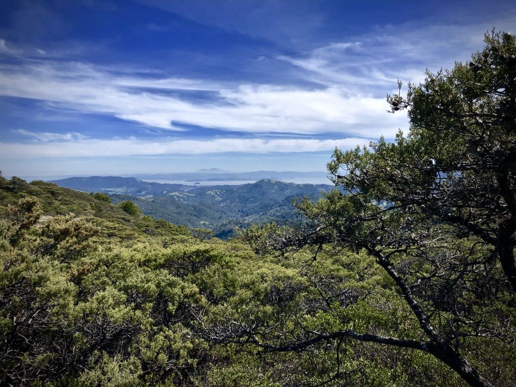
I’ve reached the Wagonwheel Trail by now, and I quickly descend through the darkness of Redwood-filled woods. I stop to take in these majestic trees. I’m climbing up to Mount Tamalpais (locally called Mt. Tam). More rock gardens await, but the view starts to open up. The countryside varies from thick woods to green open spaces with views all the way to the Richmond–San Rafael Bridge.
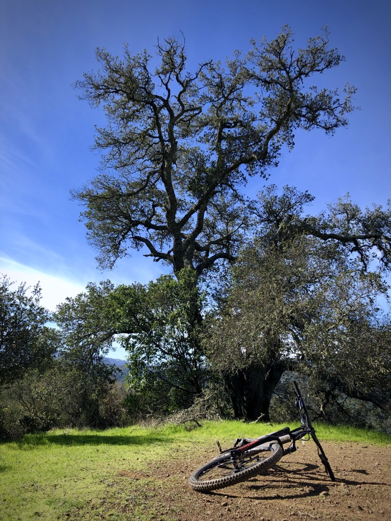
Atop Mt. Tam, I take a small break, eating a Clif Bar (also a local brand from Emeryville). The sun is now high, and I enjoy the warmth after a rainy week. Rain has made some of the root sections especially challenging knocking me down a couple of times already.
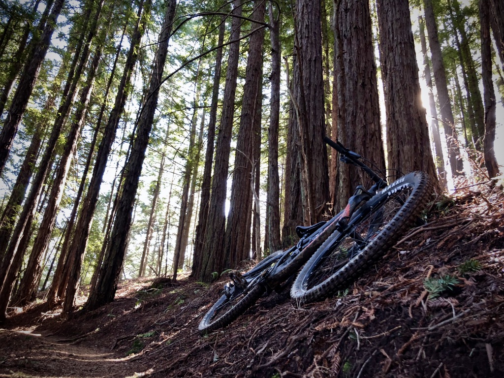
I pack up and continue down the B-17 Trail. The descent takes me into a dark redwood forest that curls a narrow single track. My wide handlebars are barely letting me pass through unobstructed. The trail crosses a few creeks and starts climbing up again. I reach an intersection. Here, you can take the trail extension, which leads to the Flow Trail section - the cherry on top of the pie. It’s fun but short. I get to the bottom and climb back up to the intersection; there’s a nice loop that lets you take as many runs on the flow trail as your heart (and legs) can handle.
However, I’ve got a different plan in mind. Once back up, I take a left and start climbing up steeply. This fire road connects to Pine Mountain Road, which leads to my next destination - Repack DH.
Repack DH
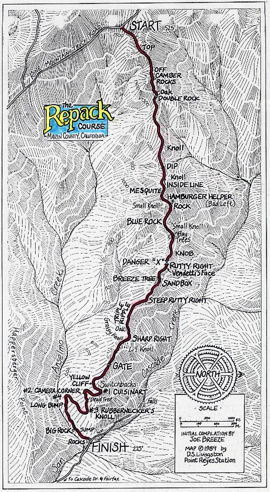
I’ve read about this place when first researching biking around San Francisco. The downhill that started it all. I thought it would be an epic flow trail, with nicely packed berms. Nope. It’s a 3 km long fire road. You heard that right. A wide fire road. I soon realize, that its magic is not in the ride itself, but the stories it carries.
It all started in the early ’70s when a few friends discovered this road and decided to race it down on ‘40s ballooners. The bikes had hub coaster breaks that would get so hot on the downhill that all the grease would vaporize, and they would need to re-grease or “repack” the hub after a few rides.
The trail gained in popularity around the county, and soon, two locals, Fred Wolf and Charlie Kelly, decided to organize a race, bearing the same name. Their friend Gerry Fisher soon joined and, to this day, holds the record at 4:22. After each race, they would talk about their rides and about their bikes. Soon enough, mountain biking as a sport was born.
I think about all this as I race down the gravel road and struggle with sharp turns. The bay opens up, and I pause to appreciate it all. The place, the spirit, the sport.
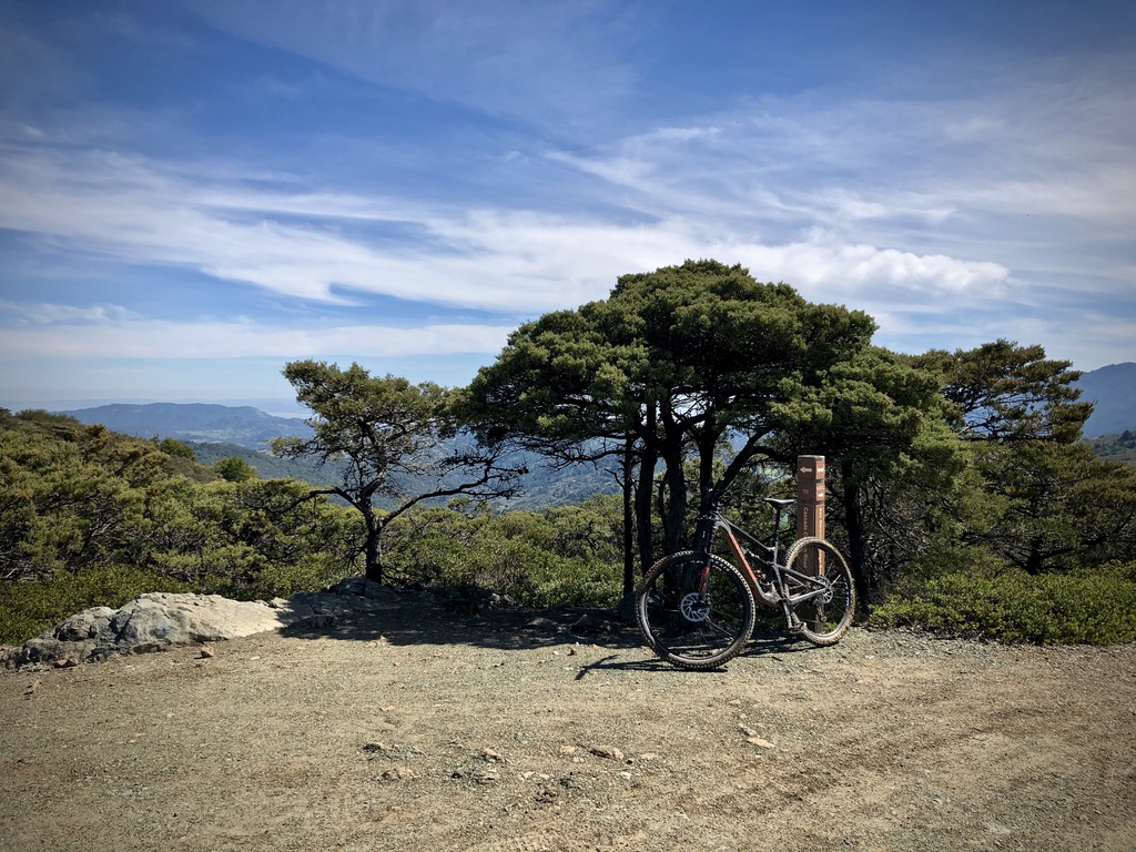
The downhill ends with a triple creek crossing, that is going to get your shoes wet, no matter how hard you try - a good way to cool down after this epic ride. Right after the last creek, I reenter Fairfax and realize I no longer feel the Clif bar in my stomach, but rather a large void. I look for a place to stop for lunch.
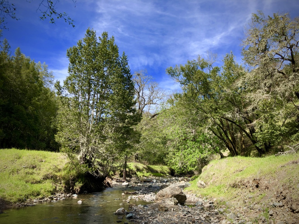
Fairfax, California
Right next to the museum is Split Rock Tap & Wheel - a bike shop, restaurant, and beer place that lets me park my bike inside. I order a Chicken Katsu sandwich and a Bo Pils and start writing down my observations for further reference. Maybe it’s the beer, maybe it’s the people at Split Rock, maybe it’s the ride I just finished, but I’m genuinely starting to love this place.
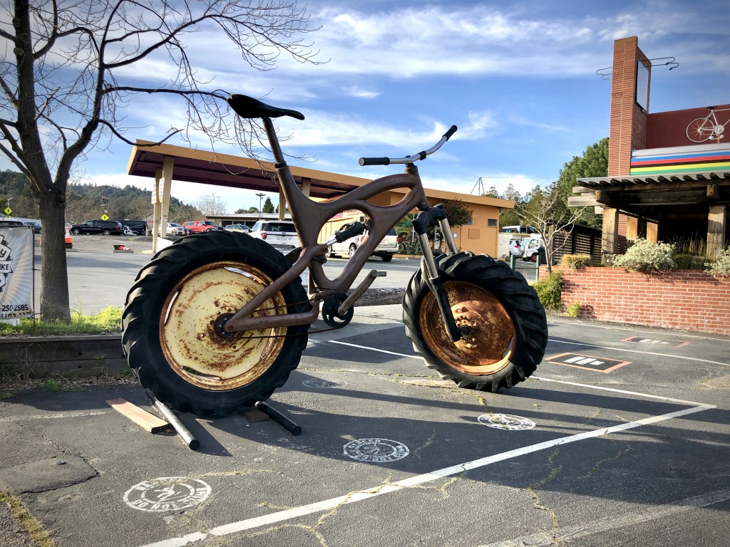
I finish my lunch and look at the clock. It’s 2 pm. I still have 4 hours. I could go to the museum, or I could go ride some more. I’ll go to the museum when I’m grey and old. Off to the trail.
I plan to try the Porcupine Trail, about 3 kilometers outside of Fairfax. I reach the trailhead and start climbing - this is a steep one. I reach a leveled section in the middle of the climb and decide to stop and enjoy being surrounded by nature. I find a nice spot and lie down. It was so nice, I fell asleep. I’m woken up by a fellow rider, sending it down the trail. Better go, I’ve been here for about 30 minutes.
As I make my way to the top, I find out that Porcupine trail is closed, due to floods. I take a peek at the map and realize I can connect back to the Tamarancho trail easily. I rejoined it right before the flow trial bit and got shredding again today.
As I’m crossing the Broken Dam Bridge, I look up and see cowbells suspended over my head. I reach up with my right hand and ring the last 3. This kind of stuff just puts a smile on my face.
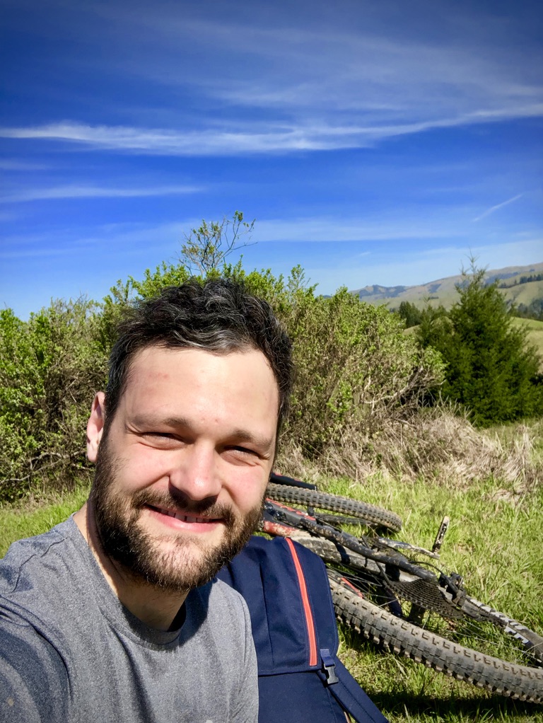
It’s 5:00 in the afternoon, and I need to hurry back to Fairfax to meet up with Mark and return my bike. I speed up, down Broken Dam Trail and take in the last moments of this fabulous day.
Where to rent a bike
If you are staying in or around San Francisco, Fairfax is 30 minutes by car. You can rent a bike in San Francisco, but I would stay away from these, as they are really meant more for city exploration and their mountain bikes looked out of shape.
After a quick Google search, I found Mountain Bike SF - a service that is located right in Fairfax and offers Santa Cruz and Specialized mountain bikes (both hardtail and full suspension). My experience has been flawless, I made the reservation just a day before coming out. The bike I wanted, a Santa Cruz Bronson was already taken, but Mark messaged me and hooked me up with their Hightower C. The bike was in great condition - no squeaky noises, the drivetrain ran spot on, and the tires were almost brand new. You get a helmet and a toolkit with every rental as well.
Here's a list of rentals in the area:
